
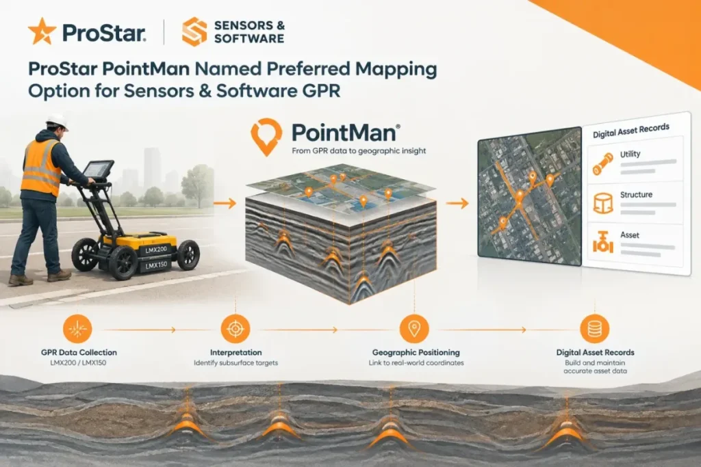

ProStar and Sensors & Software have announced a collaboration that makes ProStar’s PointMan a preferred precision-mapping solution for the LMX200 and LMX150 ground-penetrating radar (GPR) systems. For utility and infrastructure crews, the stated benefit is a connected field workflow for mapping interpreted underground targets and associating them with geographic positions and digital asset records.
The announcement says PointMan will be offered as a preferred mapping solution for the two GPR models. It also says the workflow requires an external GNSS device to connect subsurface observations with precise positioning, and that it supports RTK corrections.
What the collaboration means for field workflows
Combining GPR interpretation with mapped asset records could reduce the need to reconcile separate field notes and location data later. The practical value, however, depends on how crews capture and verify each interpreted target, and how those observations are carried into the organization’s asset records.
I would treat “preferred mapping solution” as a workflow recommendation, not proof of a fully automated connection. Before making PointMan the standard for an LMX200 or LMX150 crew, I would confirm the exact steps for moving interpreted targets into the mapping workflow, how the external GNSS receiver and RTK corrections are configured, and how the resulting coordinates are checked against the project’s required reference system.
For teams already evaluating PointMan, the collaboration is relevant to product fit, but not enough on its own to establish interoperability details or positional accuracy in a particular operating setup. The release identifies the supported radar systems and external-positioning requirement; implementation decisions still depend on confirming the field procedure and downstream record handling with the vendors.