
AD

Please disable your ad blocker

Advertising helps us keep this website available. Please disable your ad blocker for this site, then reload the page.

Skip to content
CADsynthesis
  • CAD
  • BIM
  • GIS
  • CAM
  • CAE
  • ECAD
  • AI
  • Industry
CADsynthesis
Menu
  • CAD
  • BIM
  • GIS
  • CAM
  • CAE
  • ECAD
  • AI
  • Industry
Home/Tag: DXF

Tag: DXF

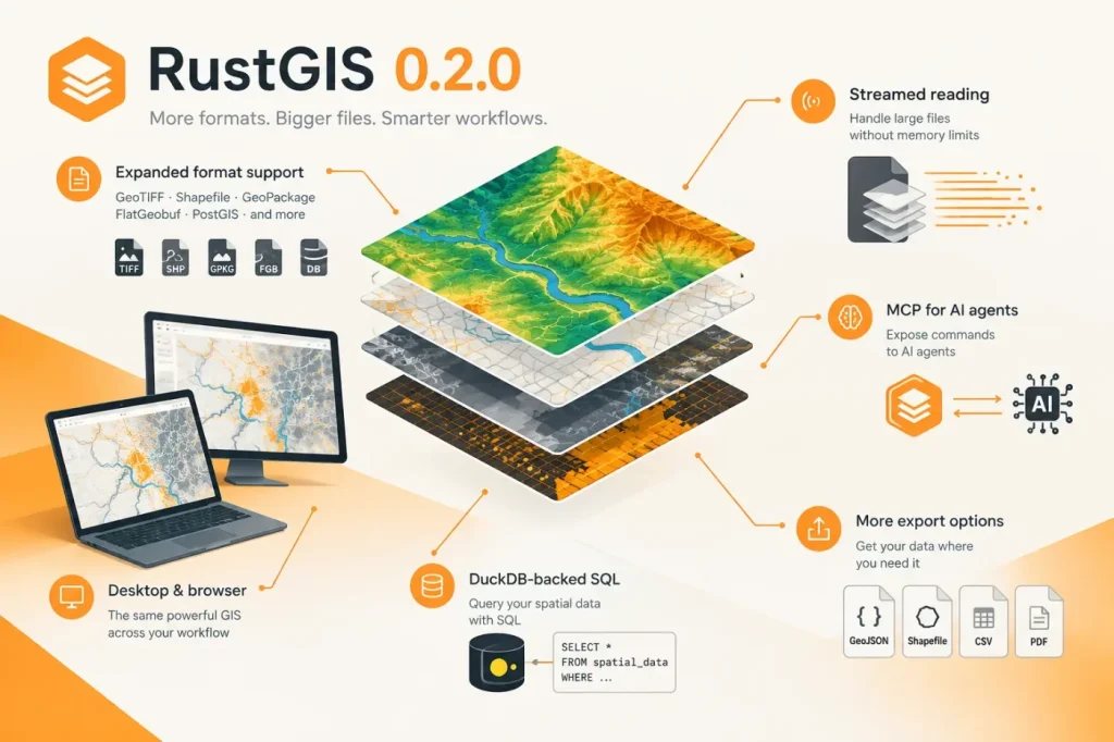
RustGIS 0.2.0 expands GIS format support across desktop and browser
GIS & Geospatial

RustGIS 0.2.0 expands GIS format support across desktop and browser

RustGIS 0.2.0 widens its format support in the desktop app and browser, adds streamed reading for large files, and exposes commands to AI agents through MCP. The release also adds DuckDB-backed SQL and more export options.
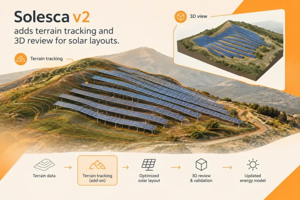

Solesca v2 adds terrain tracking and 3D review for solar layouts
BIM & AEC

Solesca v2 adds terrain tracking and 3D review for solar layouts

Solesca v2 adds terrain-following ground-mount layouts and a 3D view for reviewing solar designs. Terrain tracking is an add-on and changes the design’s energy-model workflow.

CRAFTGRAFT Introduces AI-Assisted MoI Plugins for Gears and CNC Prep
CAM & Manufacturing

CRAFTGRAFT Introduces AI-Assisted MoI Plugins for Gears and CNC Prep

CRAFTGRAFT has introduced GearMaker for creating and arranging spur gears and FlipPrep for preparing stock, registration holes and holding tabs in MoI. FlipPrep exports geometry for CAM, but does not create toolpaths or verify the complete machining setup.

WOGO Launches Hacadly AI Agent for Drawing-to-3D CAD Work
AI & Automation

WOGO Launches Hacadly AI Agent for Drawing-to-3D CAD Work

WOGO has launched Hacadly AI Agent to generate 3D models from 2D drawings and rebuild editable feature structures from history-free CAD files. Its reported benchmark results are promising, but CAD integrations and performance on customer parts still require validation.

Mach9 adds aerial LiDAR and photogrammetry to its AI CAD workflow
AI & Automation

Mach9 adds aerial LiDAR and photogrammetry to its AI CAD workflow

Mach9’s web-based CAD platform now processes aerial LiDAR and photogrammetry data, extending its point-cloud, feature-extraction and surface-modeling workflow beyond ground-based scans. The practical test will be whether teams can verify its outputs against their own survey controls before delivery.

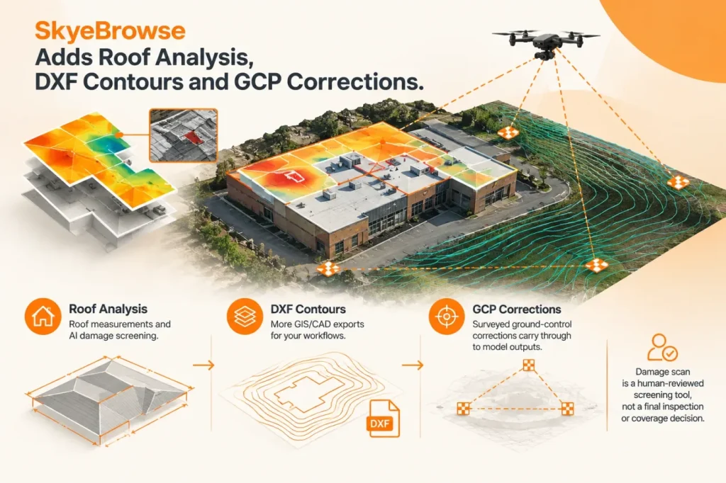
SkyeBrowse Adds Roof Analysis, DXF Contours and GCP Corrections
GIS & Geospatial

SkyeBrowse Adds Roof Analysis, DXF Contours and GCP Corrections

SkyeBrowse’s November 5 update adds roof measurements and AI damage screening, more GIS/CAD exports, and surveyed ground-control corrections that carry through to model outputs. The damage scan remains a human-reviewed screening tool, not a final inspection or coverage decision.

  • About
  • Terms of Use
  • Disclaimer
  • Cookie Policy
  • Advertising Disclosure
  • AI & Editorial Transparency
  • Corrections & Updates
  • Editorial Policy
  • Contact

Copyright 2026 CADsynthesis. All rights reserved