
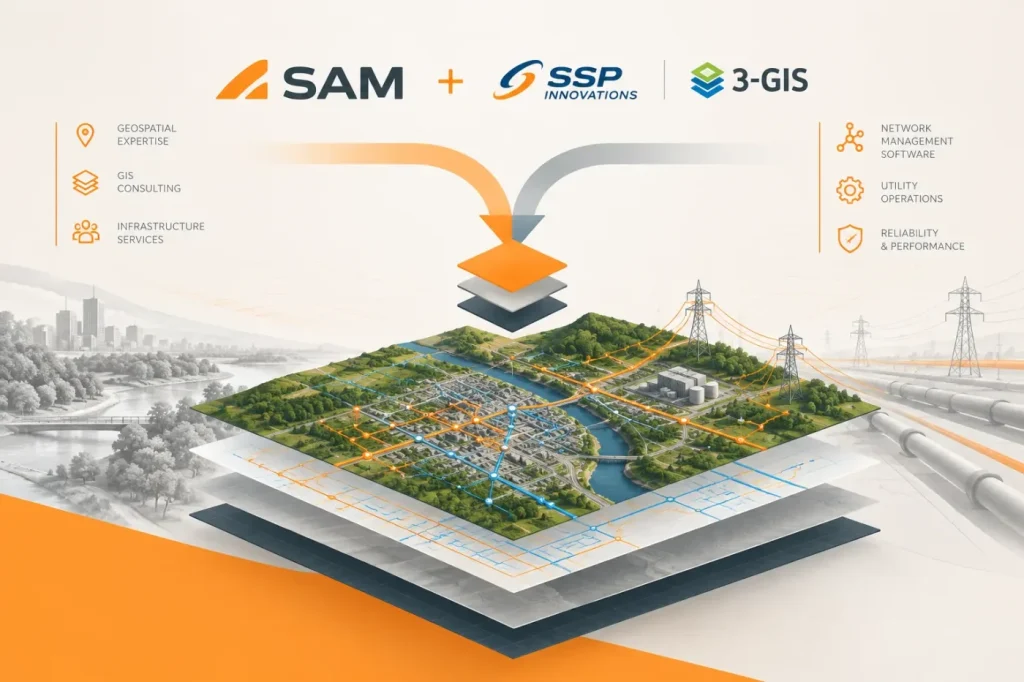

SAM has acquired utility GIS consultancy SSP Innovations and network-management software provider 3-GIS, adding implementation expertise and enterprise network tools to its infrastructure-services business. In its announcement, SAM describes a broader offering spanning surveying, GIS consulting, network software, and infrastructure operations—but does not detail plans to integrate the products.
The two acquisitions bring different capabilities. SSP works with utilities on GIS deployments, Esri Utility Network migrations, and integrations across GIS, enterprise asset management (EAM), work management (WMS), and advanced distribution management (ADMS) systems. SAM says SSP has completed more than 100 major transformation projects. 3-GIS provides cloud-native network-management software for telecommunications, electric, and gas networks, connecting planning, design, asset inventory, and operations around shared network data.
3-GIS also describes its Expansion Kit as a way for operators to extend the platform with AI-enabled tooling. That is a vendor description of the capability; the acquisition announcement gives no specific AI functions, implementation details, or performance evidence. It likewise does not say whether the acquired services and software will be bundled, share a technical roadmap, or change existing customer arrangements.
I see this as a capability-stack move, not yet proof of a unified platform. Combining implementation specialists with network software could make it easier for utilities to connect GIS modernization to ongoing network operations. But buyers should distinguish that strategic possibility from a confirmed product integration. The useful evidence to watch for is a documented workflow: what data moves between systems, how it is governed, and which software versions and interfaces are supported. The announcement does not answer those questions.
I would be concerned about conflicting network records, because SSP works across GIS, EAM, WMS, and ADMS, while 3-GIS describes network data as shared across the enterprise. If a network-data update does not synchronize across those systems—or if they disagree about which system owns the updated record—teams could be left with conflicting network information. I would not assume the systems are integrated until a representative update can be traced across the relevant systems, with synchronization and data ownership confirmed at each step.
For now, the clearest change is organizational: SAM is adding a utility GIS consultancy and an enterprise network-software business to its existing geospatial and inspection services. Customers evaluating either company’s offerings should request supported API and data-model documentation, and test a representative network-data update for synchronization and ownership across systems, rather than assume the acquisition itself changes their tools or workflows.