
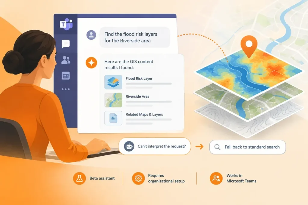

ArcGIS for Teams now lets users search for GIS content with natural-language prompts inside Microsoft Teams, while retaining its existing search workflow. Esri describes the change in its announcement as an enhancement to finding and sharing maps, layers, files, scenes and apps—not a replacement for the search window.
The assistant can respond to queries that specify both the content type and where to look, such as feature layers in an organization or StoryMaps in Living Atlas. If a prompt is unclear or repeatedly fails, Esri says the assistant can offer related content, ask for a more specific query, or direct users back to standard search. The established search workflow remains available, so conversational interpretation is not the only route to results.
A search aid, not a general-purpose GIS agent
The practical gain is fewer manual filtering steps when a user already knows roughly what they need. Esri’s examples point to searches constrained by item type and source, which should help colleagues find and share existing content in a Teams conversation. They do not establish that the assistant creates maps, verifies a layer’s suitability, or performs spatial analysis from the prompt. I would use its answers only to identify candidate layers, then check each returned layer’s extent and update date against the intended area and recency requirement before relying on it in a decision or workflow.
Because the assistant remains in beta, Esri’s documentation says generated suggestions can be inaccurate or misleading and advises applying human judgment. It also notes that an ArcGIS Online organizational account and appropriate privileges are required; an administrator must configure the assistant before members can enable it. The announcement specifies a minimum Viewer named-user account and says the organization must allow AI assistants and permit Esri beta capabilities.
Check access before rolling it out
For teams, the main implementation question is less about writing elaborate prompts than about access and governance. Administrators should confirm the required organization settings and privileges, then test representative searches against the intended content sources—for example, organization, group and public items. Esri’s documentation recommends concise prompts, so a short query naming the item type and source is a sensible starting point. I would enable the feature only after pilot searches return the expected organization and group items; if either source returns unexpected results, I would hold rollout until the results meet those expectations.
This is a modest workflow improvement with a clear boundary: conversational wording can make ArcGIS content easier to locate in Teams, but users still need to inspect the actual items returned. That makes the feature useful for reducing search friction, not a substitute for GIS review.