
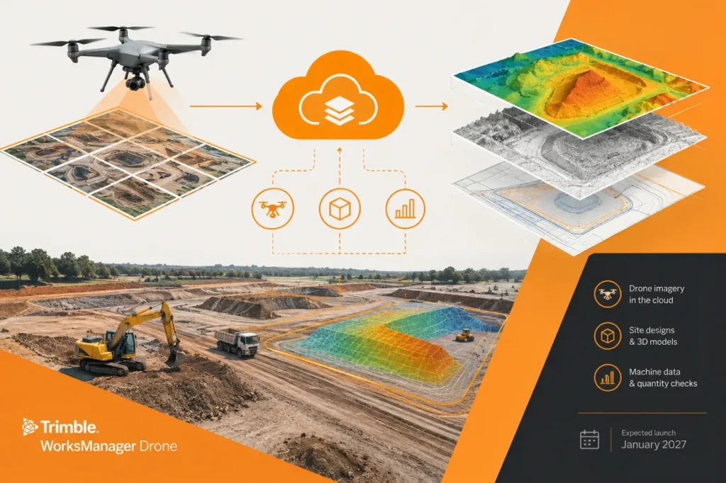

Trimble is adding cloud photogrammetry to WorksManager, giving civil construction teams a way to process drone flights and view the resulting site data alongside designs, machine data and as-builts. The company’s announcement positions the feature as a way to bring measurements and material-volume checks closer to the people managing work in the field.
Trimble says WorksManager Drone will process flight data and overlay it with project information for tasks such as calculating volumes, taking measurements and checking material placement. That could reduce the handoff between drone processing and jobsite coordination: supervisors and project managers can review the processed data in the same environment as current design files, rather than relying solely on separately shared outputs. The announcement names DJI and Wingtra drones as supported platforms at launch.
Useful consolidation, with survey checks still essential
The integration is most relevant to contractors who already use WorksManager to distribute project files and design updates. Trimble’s product information describes a workflow for uploading and validating mission data, selecting ground control points, configuring processing outputs and reviewing results. It also lists options for processing resolution and references ground-control workflows connected to Trimble Siteworks.
I would treat the integration as a coordination improvement, not proof that every drone-derived quantity is ready for acceptance or payment. Putting a surface and a design in one view makes comparison easier, but it does not by itself establish that the capture, control and processing are appropriate for a particular measurement. A practical adoption check is to compare elevations at independently surveyed checkpoints and reject the surface if deviations exceed the project’s stated tolerance before relying on them for consequential decisions. That is especially important where the required accuracy, control setup or review procedure varies by project.
Before accepting a volume comparison, confirm the coordinate reference system and vertical datum for both surfaces match. If either reference is unknown or differs, resolve it before relying on the comparison.
WorksManager Drone is expected to become available through Trimble’s global dealer channel in January 2027. The announcement does not provide pricing or detailed technical limits, so contractors evaluating it should confirm those details—including required imagery, processing outputs and project-specific accuracy expectations—with Trimble or their dealer before planning a rollout.