

AD

Please disable your ad blocker

Advertising helps us keep this website available. Please disable your ad blocker for this site, then reload the page.

Skip to content
CADsynthesis
  • CAD
  • BIM
  • GIS
  • CAM
  • CAE
  • ECAD
  • AI
  • Industry
CADsynthesis
Menu
  • CAD
  • BIM
  • GIS
  • CAM
  • CAE
  • ECAD
  • AI
  • Industry
Home/Tag: Web Maps

Tag: Web Maps

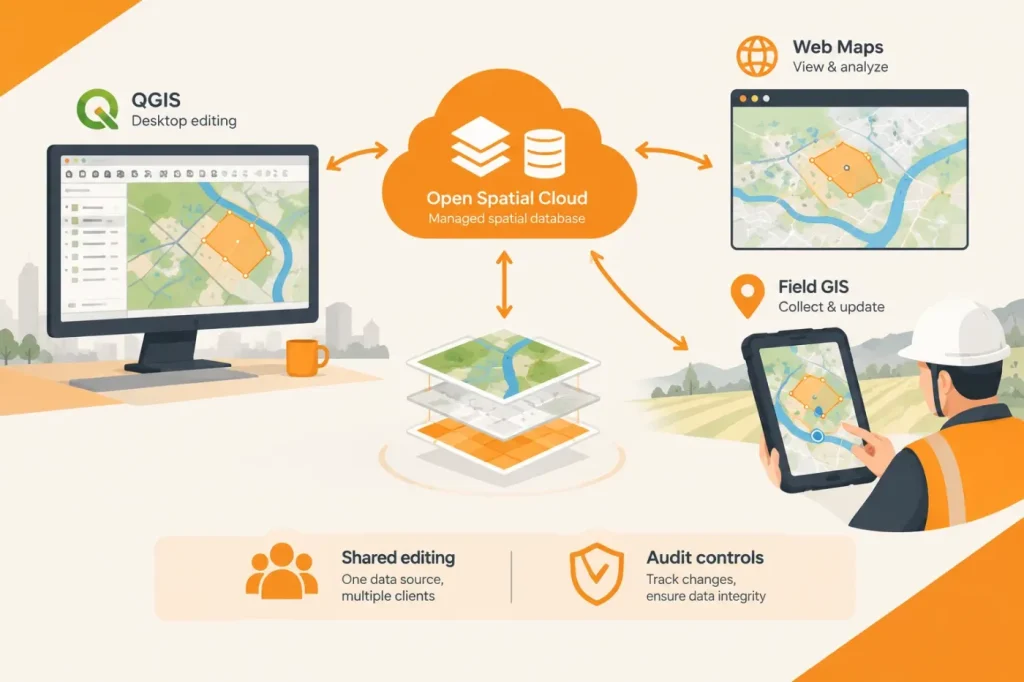
Open Spatial Cloud Connects QGIS, Web Maps and Field GIS to Shared Data
GIS & Geospatial

Open Spatial Cloud Connects QGIS, Web Maps and Field GIS to Shared Data

Open Spatial Cloud combines QGIS desktop editing with web and mobile GIS clients connected to a managed spatial database. The practical question for adopters is how shared editing and audit controls work across those clients.

  • About
  • Terms of Use
  • Disclaimer
  • Cookie Policy
  • Advertising Disclosure
  • AI & Editorial Transparency
  • Corrections & Updates
  • Editorial Policy
  • Contact

Copyright 2026 CADsynthesis. All rights reserved