

AD

Please disable your ad blocker

Advertising helps us keep this website available. Please disable your ad blocker for this site, then reload the page.

Skip to content
CADsynthesis
  • CAD
  • BIM
  • GIS
  • CAM
  • CAE
  • ECAD
  • AI
  • Industry
CADsynthesis
Menu
  • CAD
  • BIM
  • GIS
  • CAM
  • CAE
  • ECAD
  • AI
  • Industry
Home/Tag: Shapefile

Tag: Shapefile

RustGIS 0.2.0 expands GIS format support across desktop and browser
GIS & Geospatial

RustGIS 0.2.0 expands GIS format support across desktop and browser

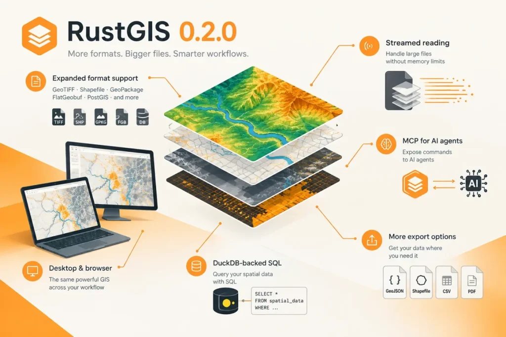
RustGIS 0.2.0 widens its format support in the desktop app and browser, adds streamed reading for large files, and exposes commands to AI agents through MCP. The release also adds DuckDB-backed SQL and more export options.

  • About
  • Terms of Use
  • Disclaimer
  • Cookie Policy
  • Advertising Disclosure
  • AI & Editorial Transparency
  • Corrections & Updates
  • Editorial Policy
  • Contact

Copyright 2026 CADsynthesis. All rights reserved