

AD

Please disable your ad blocker

Advertising helps us keep this website available. Please disable your ad blocker for this site, then reload the page.

Skip to content
CADsynthesis
  • CAD
  • BIM
  • GIS
  • CAM
  • CAE
  • ECAD
  • AI
  • Industry
CADsynthesis
Menu
  • CAD
  • BIM
  • GIS
  • CAM
  • CAE
  • ECAD
  • AI
  • Industry
Home/Tag: QGIS

Tag: QGIS

UNSW’s MapAI Explore Launches for Natural-Language Spatial Analysis
GIS & Geospatial

UNSW’s MapAI Explore Launches for Natural-Language Spatial Analysis

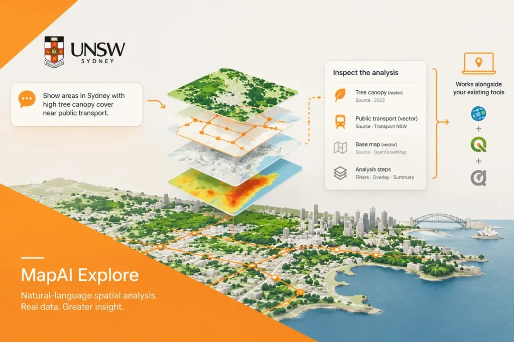
MapAI Explore lets users ask place-based questions in everyday language, then inspect the datasets and analysis behind the resulting maps. Its stated role is to accelerate repeatable GIS work alongside existing tools, not replace them.
Open Spatial Cloud Connects QGIS, Web Maps and Field GIS to Shared Data
GIS & Geospatial

Open Spatial Cloud Connects QGIS, Web Maps and Field GIS to Shared Data

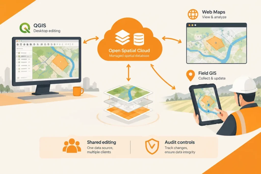
Open Spatial Cloud combines QGIS desktop editing with web and mobile GIS clients connected to a managed spatial database. The practical question for adopters is how shared editing and audit controls work across those clients.

  • About
  • Terms of Use
  • Disclaimer
  • Cookie Policy
  • Advertising Disclosure
  • AI & Editorial Transparency
  • Corrections & Updates
  • Editorial Policy
  • Contact

Copyright 2026 CADsynthesis. All rights reserved