

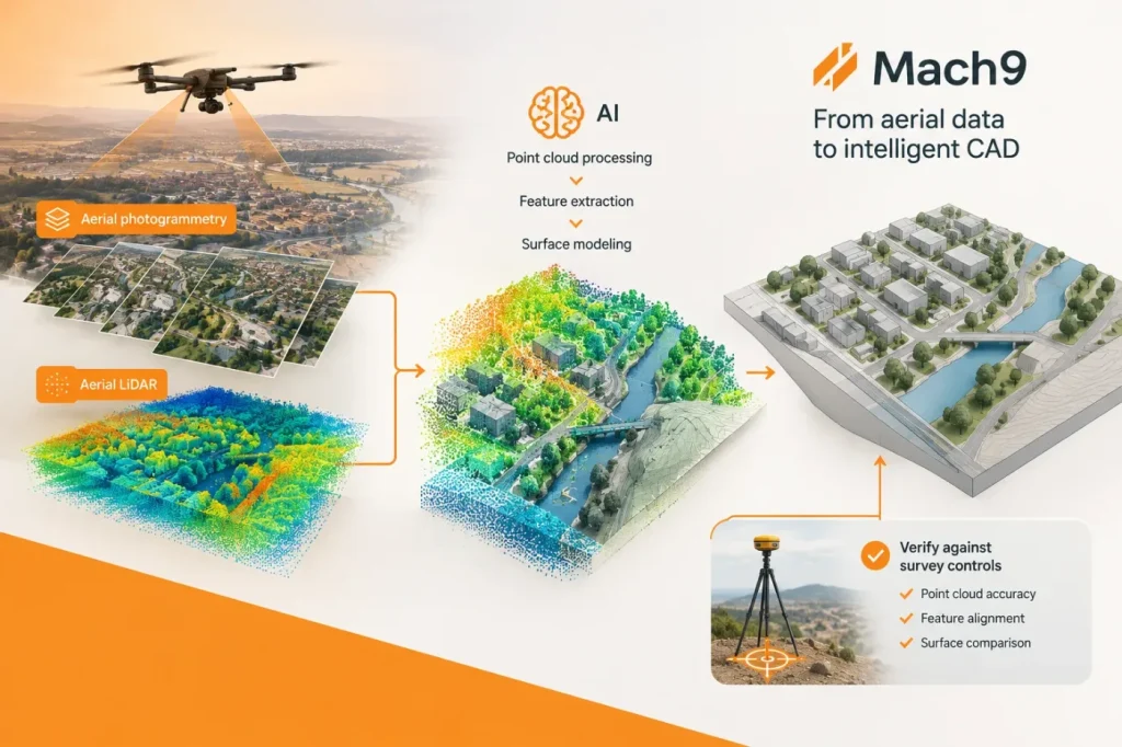
Mach9 adds aerial LiDAR and photogrammetry to its AI CAD workflow
Mach9’s web-based CAD platform now processes aerial LiDAR and photogrammetry data, extending its point-cloud, feature-extraction and surface-modeling workflow beyond ground-based scans. The practical test will be whether teams can verify its outputs against their own survey controls before delivery.